- Region
- Vega baja
- Marina Alta
- Marina Baixa
- Alicante
- Baix Vinalopo
- Alto & Mitja Vinalopo
-
ALL TOWNS
- ALICANTE TOWNS
- Albatera
- Alfaz Del Pi
- Alicante City
- Alcoy
- Almoradi
- Benitatxell
- Bigastro
- Benferri
- Benidorm
- Calosa de Segura
- Calpe
- Catral
- Costa Blanca
- Cox
- Daya Vieja
- Denia
- Elche
- Elda
- Granja de Rocamora
- Guardamar del Segura
- Jacarilla
- Los Montesinos
- Orihuela
- Pedreguer
- Pilar de Horadada
- Playa Flamenca
- Quesada
- Rafal
- Redovan
- Rojales
- San Isidro
- Torrevieja
- Comunidad Valenciana
Playa de la Mata, the largest beach in Torrevieja
La Mata beach, Torrevieja
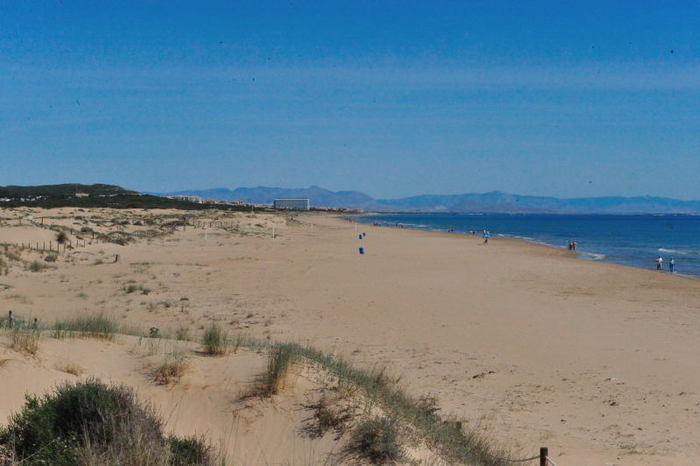
From the cove of Cabo Cervera to the dunes of Guardamar: a long, well-equipped sandy beach
 Torrevieja’s longest beach lies at the northern end of the municipality’s coastline, and is easily reached all along its 2.3-kilometre length at a number of access points from the N-332 and the residential areas of La Mata and northern Torrevieja.
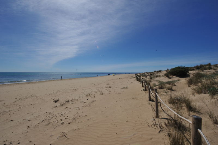
As one of Torrevieja’s Blue Flag holders it is well equipped, with recreational facilities, foot showers, an tourist information point, good wheelchair access and sunbeds available along its length. There are also various beach bars along the promenade which runs behind the beach, separating it from the residential areas and dunes which lie inland. The beach is only a kilometre away from the salt lake of La Mata, and a saltwater inlet channel (Canal de las Salinas) marks its northern limit.
Running from Cabo Cervera in the south to the dunes of Guardamar and the Torre de La Mata at the northern end, this is a long, wide expanse of sand covering a total area of well over 100,000 square metres. For many it is the epitome of what a Mediterranean beach should be like, and for more active beachgoers there are eight beach volleyball courts, a beach football pitch, and pedal-boats for hire.
Although most of the back of the beach is occupied by houses and restaurants, towards the southern end there is direct access from the Parque del Molino del Agua, a public park which includes high dunes as well as pine woods and a cascading stream.
Parking is fairly easy at most times along the length of the beach, although in high summer it may be  advisable to make use of the Línea A bus route in order to avoid a frustrating time looking for space.
The beach is so long that it is often divided into three sectors, which are (running from north to south) Playa de La Mata – Pueblo (3 lifeguard points and one first aid station), Playa de La Mata – Europeos (4 lifeguard points and one first aid station) and Playa de La Mata – Dulce (4 lifeguard points and one first aid station).
Where is Playa de la Mata, Torrevieja?
Click for map, Playa de la Mata, Torrevieja
Click for further information about other beaches inTorrevieja


