









PROPERTY SEARCH

A 'Godzilla' El Niño is building what does it mean for Spain?
Sea temperatures in the tropical Pacific are rising rapidly, with forecasters watching closely to see how the unusual event develops
The unusually warm Pacific is raising questions about what lies ahead for Spain, with forecasts pointing towards a generally mild winter but the possibility of some colder spells. Spain could be heading towards a relatively mild winter, although forecasters are warning that the season may still have a few surprises in store.
The reason is thousands of kilometres away in the tropical Pacific, where sea temperatures are rising as the latest El Niño event continues to strengthen. This particular episode is attracting attention because it could become one of the strongest on record. The informal nickname "El Niño Godzilla" is sometimes used for exceptionally powerful El Niño events, although it isn't an official meteorological term.
Current forecasts suggest the phenomenon will continue building towards the end of 2026 and remain in place through the winter. Some models are predicting an exceptionally strong event, with the NOAA giving a 75% probability that El Niño could reach historic levels this autumn between October and December.
So, what does all this mean for Spain?
The answer isn't as straightforward as expecting a warmer winter. El Niño has a much more direct influence on weather in parts of the Pacific, while its effects in Europe depend on how it interacts with other atmospheric patterns.
At present, forecasts are pointing towards a generally mild winter in Spain, with westerly winds and Atlantic storms potentially playing a bigger role. That doesn't mean we can put the winter coats away just yet, though.
A strong El Niño can influence atmospheric circulation across the Northern Hemisphere and, under certain conditions, contribute to changes in the polar vortex. This can open the door for very cold air to move further south. As a result, even if temperatures are above average for much of the winter, Spain could still see some short-lived but intense cold spells, particularly towards the end of the season.
There is also plenty that could change between now and winter. El Niño is still developing and the models will become more reliable as more information becomes available.
For now, the forecasters are saying a strong El Niño doesn't automatically mean a warm winter in Spain, but the current forecasts do suggest that mild conditions could dominate, with the possibility of a few much colder surprises along the way.
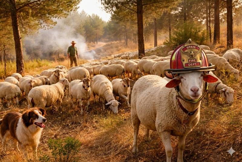
Image: Archive
staff.inc.ali
Sign up for the Spanish News Today Editors Roundup Weekly Bulletin and get an email with all the week’s news straight to your inbox
Special offer: Subscribe now for 25% off (36.95 euros for 48 Bulletins)
OR
you can sign up to our FREE weekly roundup!
Read some of our recent bulletins:
Discount Special Offer subscription:
36.95€ for 48 Editor’s Weekly News Roundup bulletins!
Please CLICK THE BUTTON to subscribe.
(List price 3 months 12 Bulletins)
Read more stories from around Spain: