- Region
- Vega baja
- Marina Alta
- Marina Baixa
- Alicante
- Baix Vinalopo
- Alto & Mitja Vinalopo
-
ALL TOWNS
- ALICANTE TOWNS
- Albatera
- Alfaz Del Pi
- Alicante City
- Alcoy
- Almoradi
- Benitatxell
- Bigastro
- Benferri
- Benidorm
- Calosa de Segura
- Calpe
- Catral
- Costa Blanca
- Cox
- Daya Vieja
- Denia
- Elche
- Elda
- Granja de Rocamora
- Guardamar del Segura
- Jacarilla
- Los Montesinos
- Orihuela
- Pedreguer
- Pilar de Horadada
- Playa Flamenca
- Quesada
- Rafal
- Redovan
- Rojales
- San Isidro
- Torrevieja
- Comunidad Valenciana
Cartagena beaches: Playa Calnegre, La Manga del Mar Menor
500 metres of sandy Mediterranean beach in the south of La Manga del Mar Menor
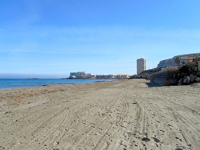
Playa Calnegre is sometimes referred to as Playa de Monte Blanco, and is not to be confused with the beaches of the same name in the municipality of Lorca. It is located alongside kilometre 3.5 of the Gran Vía and consists of around 500 metres of golden and greyish sand at the northern end of the headland of Punta Calnegre.
There is sometimes confusion when talking about beaches on La Manga del Mar Menor, as there are both Mar Menor beaches and Mediterranean coastal beaches on this thin strip of land, one type of beach along each side, and to make matters worse, these are divided between two different local councils, those of San Javier and Cartagena. The divide between the two is brutal; straight across the middle of "the strip" as it is often called by foreign holidaymakers, the top part belonging to San Javier and the bottom part to Cartagena.
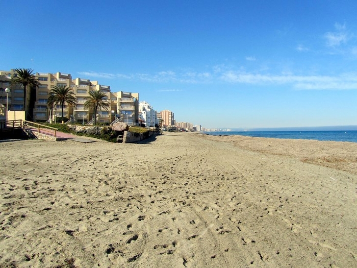
Playa Calnegre falls within the municipality of Cartagena and is the northernmost Mediterranean beach within the municipal boundaries.
It is important when selecting a beach to understand that the Mar Menor beaches offer shallow and calm bathing conditions, whereas the Mediterranean beaches are wider, longer, windier, and are susceptible to wave conditions and currents.
The location of La Manga del Mar Menor beaches is generally defined by kilometre reference. Kilometre 0 is the tourist information point at Cabo de Palos and km 18 is the far end of La Manga by the Esculls de la Llana y Encañizadas, which is where dry land runs out! The remainder of "the strip" is marsh, and inaccessible, before it finally meets the salinas of the municipality of San Pedro del Pinatar.
This beach is at km 3.5, so is close to the southern end of La Manga and the “mainland”. It is also near Plaza Bohemia, a shopping area and open space used for cultural activities.
Playa Calnegre is 500 metres long and 20 wide, with fine golden sand. During the summer it is classed as having high occupancy due to the built-up area behind it.
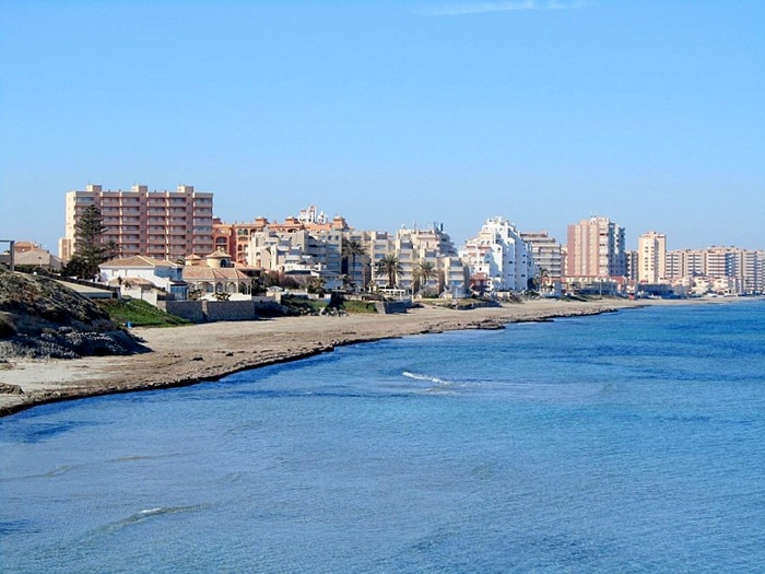
The facilities include a lifeguard and medical service in the summer (mid-June to mid-September), sunbed and parasol hire, foot showers and rubbish bins.
As in the rest of La Manga there are full eating and shopping facilities nearby, but some form of motor 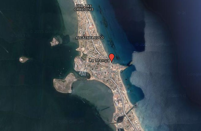 transport is needed in order to reach them from this part of the coastline as the seafront is not lined with restaurants as is the case, for example, at Playa del Barco Perdido.
Access to the beach is via the residential area next to the hotel on the headland, but parking can be something of a problem here in the summer, when the homes are fully occupied.
A bus service runs right along Gran Vía, stopping near the beach.
Click for introduction to the Cartagena beaches.
Click for more information about the municipality of Cartagena.
For further local information click general information La Manga.
staff.inc.ali
Other Cartagena Beaches


